-
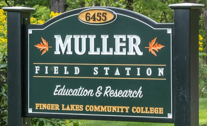
Finger Lakes Community College's Muller Field Station (MFS) is located on a 48-acre property in Honeoye, NY, at the south end of Honeoye Lake. It sits upon the traditional lands and waters of the Seneca Nation, Onödowága: "Great Hill People" — the original stewards of this valley. Surrounded by lands protected by NYS Department of Environmental Conservation, The Nature Conservancy, and local land trusts, Muller Field Station is strategically located to provide immersive, experiential education and research opportunities. The Honeoye Lake watershed is a mosaic of 40 natural communities and home to over 1,200 species of trees, plants, fish, amphibians, insects, birds, and mammals. Our property includes silver maple-ash swamp forests, the channel inlet, beaver dams, vernal pools, farm ponds, and successional fields. Facilities include a 24-bed bunkhouse, lab and classroom space, a fish culturing station, a boat launch, and a fleet of canoes and kayaks.
-

- North America
- 6455 Co Rd 36
- United States
- Honeoye
- NY
- 14471
- 42
- 77
- maura.sullivan@flcc.edu
- https://www.flcc.edu/muller/
- 2000
- Maura Sullivan
- maura.sullivan@flcc.edu
- Muller Field Station Director
- 3325 Marvin Sands Drive
- 5857851248
- Maura Sullivan
- maura.sullivan@flcc.edu
- Maura Sullivan
- maura.sullivan@flcc.edu
- 1-100
- No
- Yes
- 3-5
- 3-5
- 21-50
- 1-25
- On Grid
- 21-40 minutes
- K-12
- Terrestrial
- Temperate Forest
- 101-300 meters
- 101-300 meters
- C (temperate)
- Rural
- Yes
- 50
- 50
- Year Founded
- 2000
- Year Joined OBFS
- Size of Field Station (hectares)
- 1-100
- FSML Web Address
- https://www.flcc.edu/muller/
- Private nonprofit organization?
- No
- Universities affiliated / Parent Organization
- Federal, state, or local governmental partners?
-
No
- Member of the Virtual Field
- No